Climate Action
Charman Creek
Implementing climate adaptation strategies to create a more resilient stormwater system in Lower Gibsons.
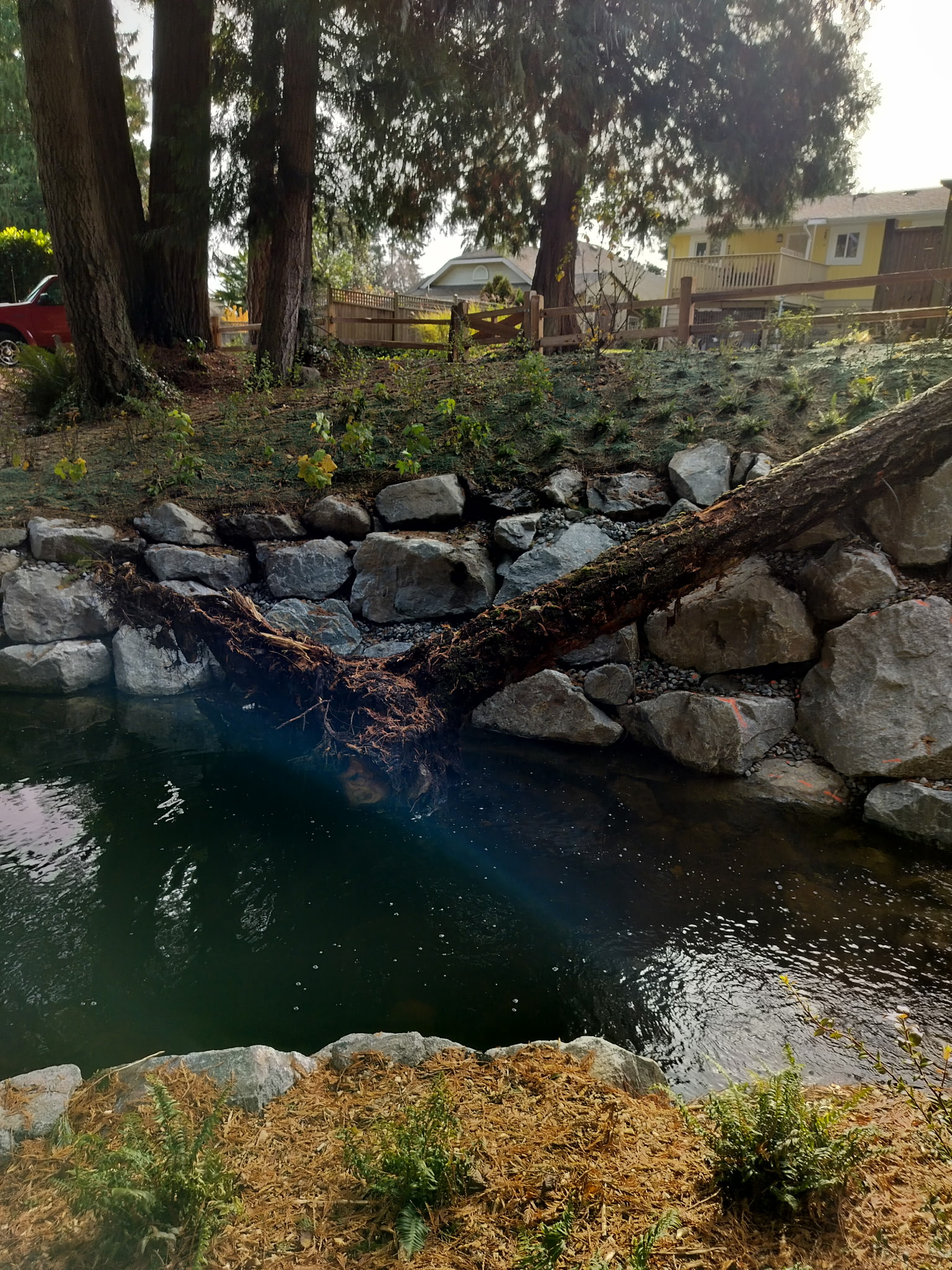
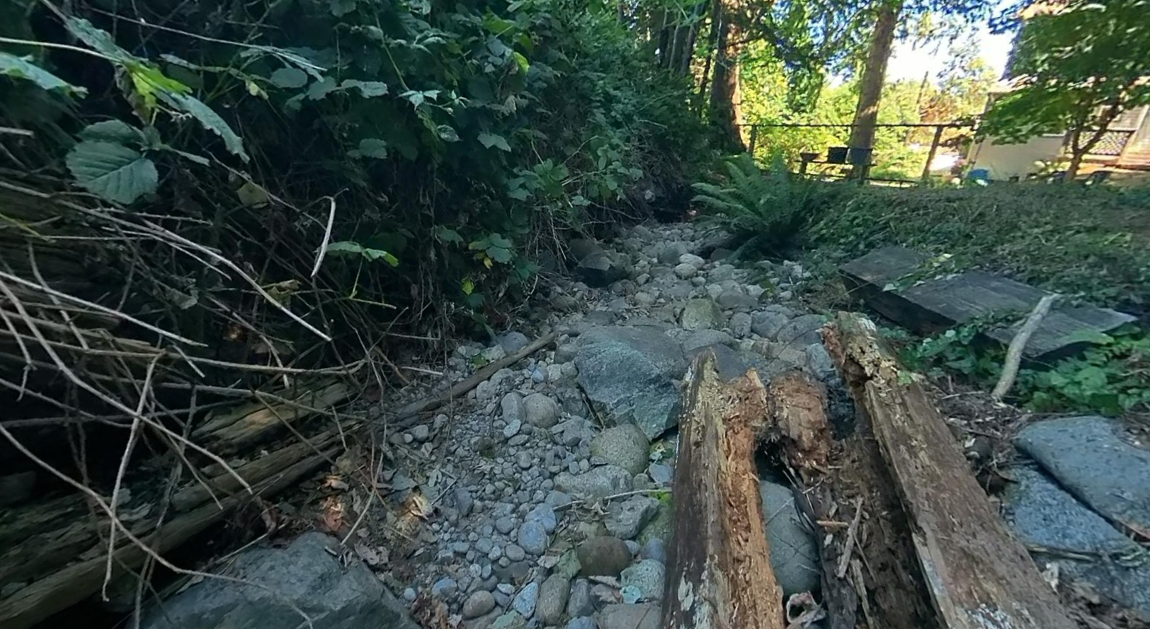
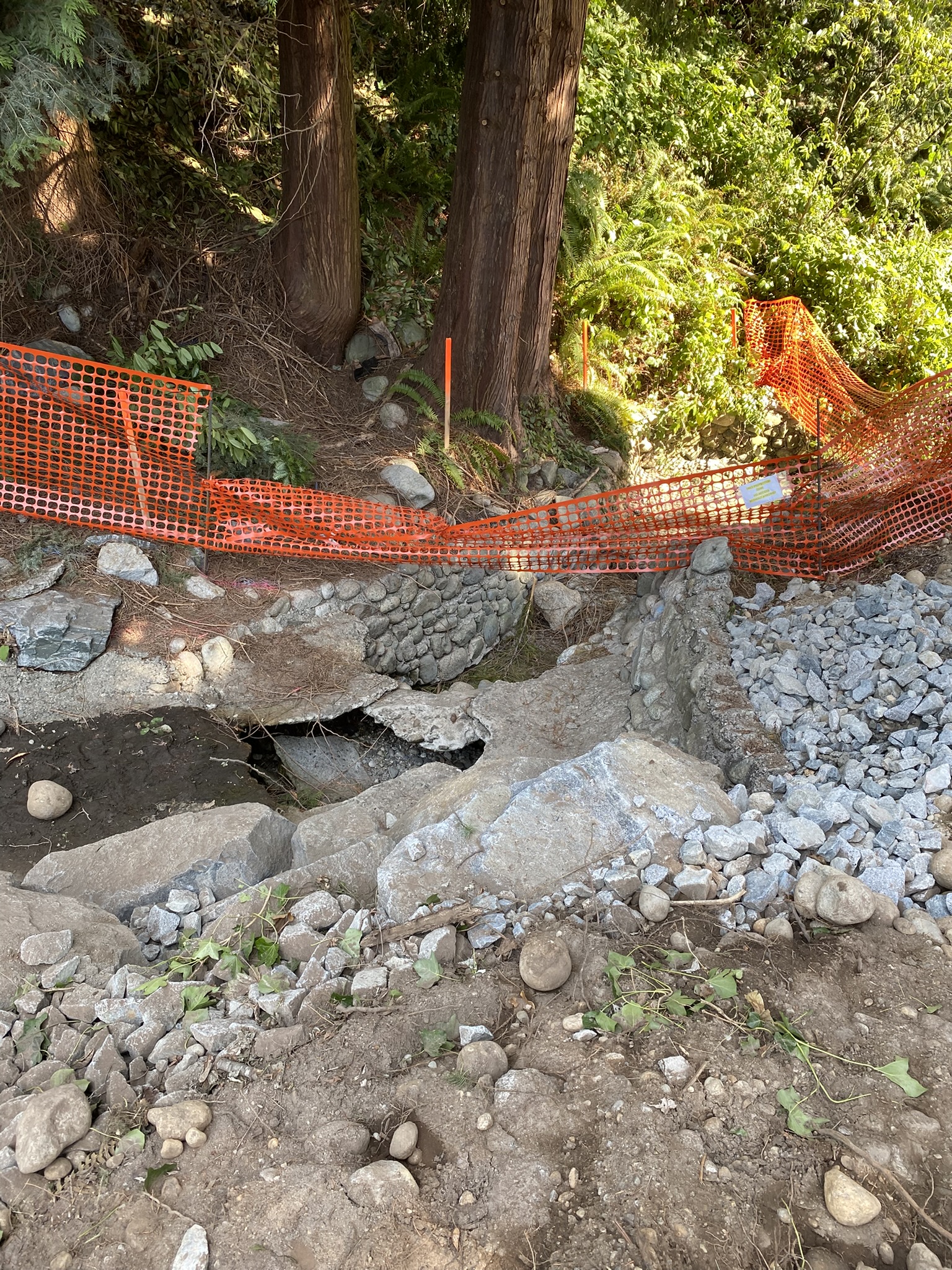
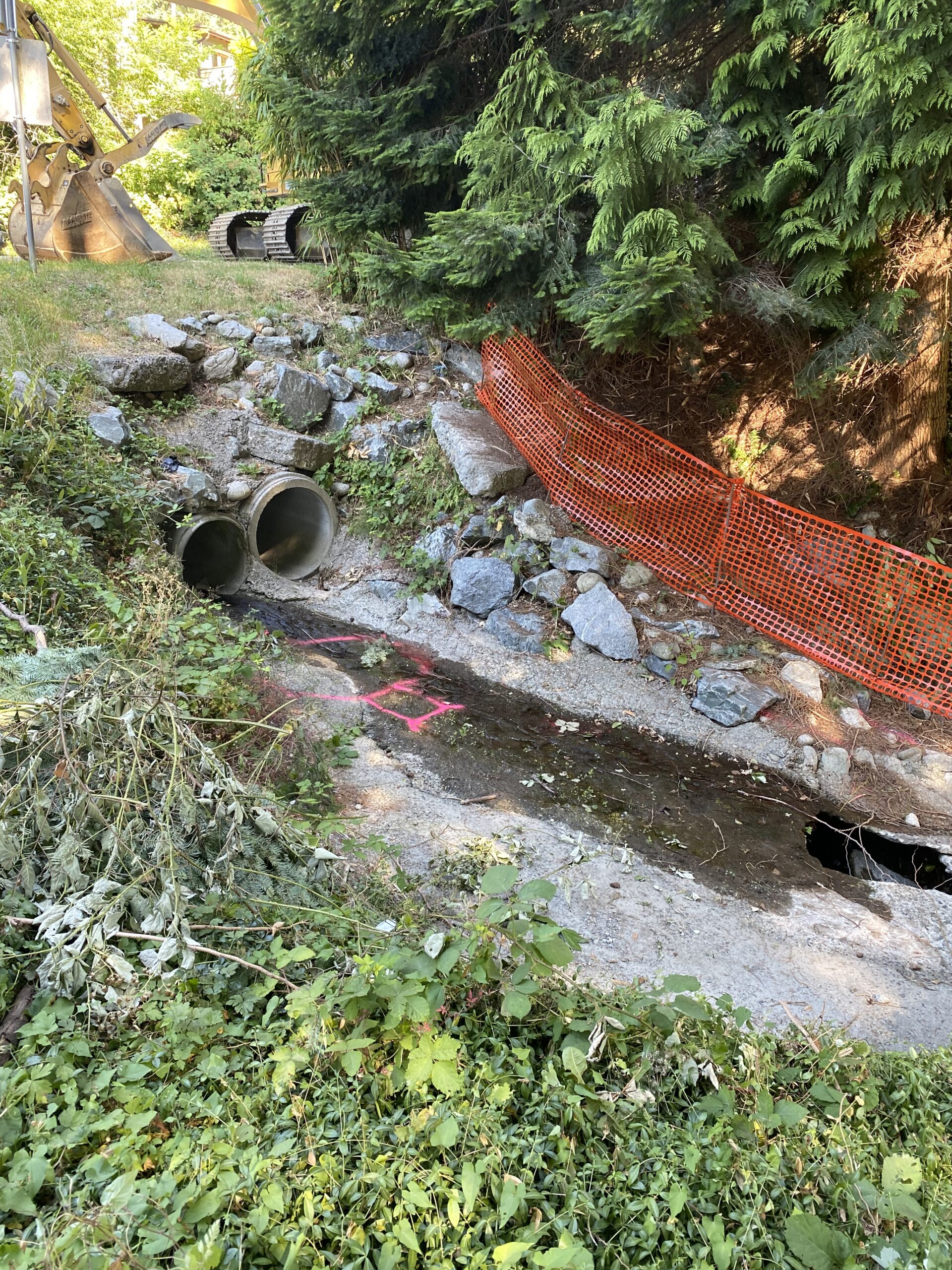
Charman Creek is a key component of Gibsons’ natural stormwater management system. Over time, portions of the creek have experienced erosion and constrictions, increasing the risk of flooding to nearby properties and negatively impacting the natural habitat.
In 2021, a Qualified Environmental Professional (QEP) identified 23 potential remediation sites along the lower reaches of Charman Creek and provided additional recommendations which will be implemented through creek restoration. In response, the Town launched a multi-year initiative to restore Charman Creek and a portion of Goosebird Creek while enhancing long-term monitoring and maintenance of the waterway.
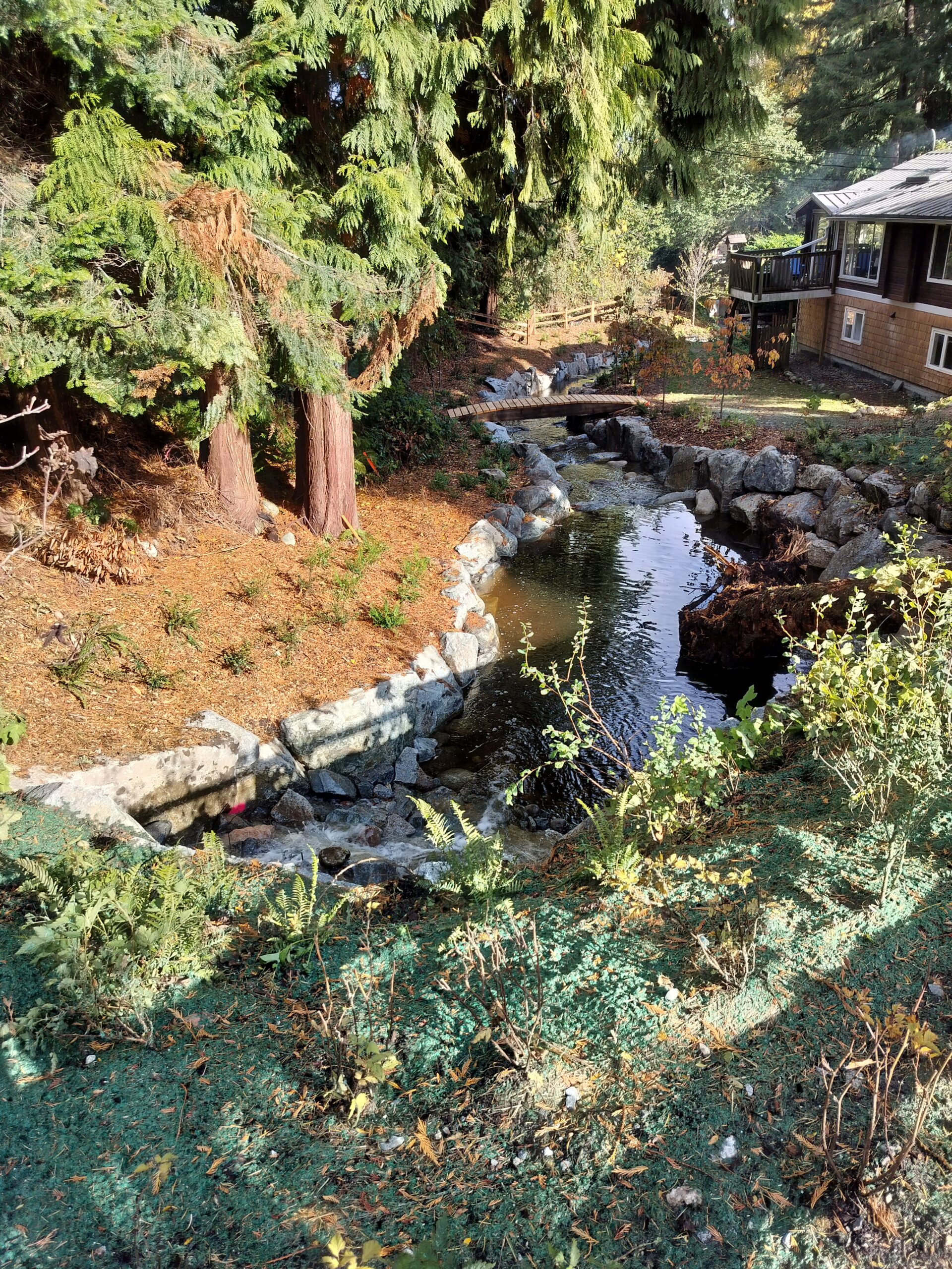
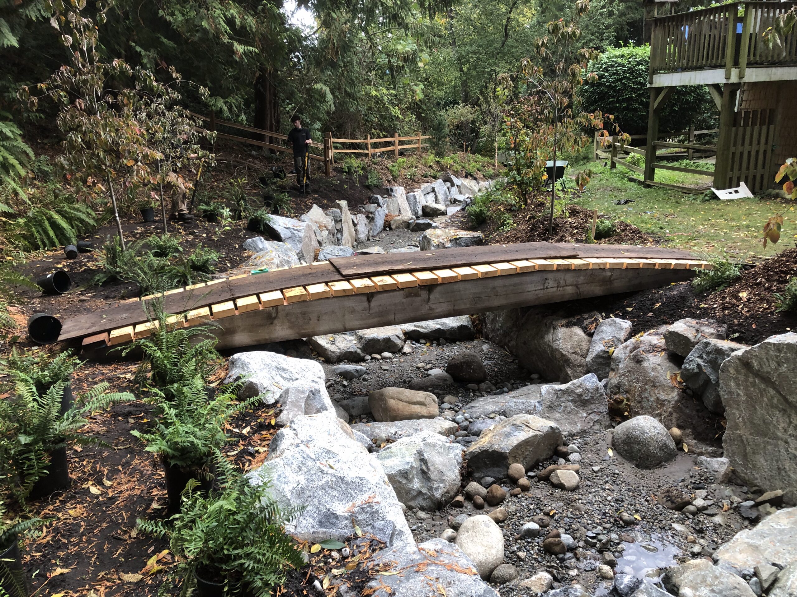
The project will improve stormwater management, restore natural creek function, enhance fish and wildlife habitat, and increase the community’s resilience to the impacts of climate change.
Phase 2 Update
The next phase of Charman Creek restoration is scheduled to begin approximately August 4, 2026. Work will focus on restoring the creek channel, improving habitat, and reducing long-term risks associated with erosion and flooding.
Phase 2 construction will include:
- Clearing select vegetation and establishing construction access from Dougall Road.
- Installing environmental protection measures to safeguard the creek and surrounding habitat.
- Completing creek restoration works using access from Dougall Road.
To protect fish habitat, in-stream work must be completed during the least-risk fish window, which runs from August 1 to September 15.

Traffic Management
Traffic management measures will be in place throughout construction to maintain safe access, minimize disruptions, and keep nearby residents, property owners, and service providers informed.
During construction:
- Single-lane alternating traffic will be maintained on Dougall Road.
- Pedestrians will be provided with a safe route through or around the work area.
- Updates will be shared as work progresses.
Tree Assessment and Vegetation Management
Before restoration work begins, the Town completed a tree assessment with a Certified Arborist to evaluate the health and safety of the mature row of trees along the northeast side of Charman Creek.
The assessment identified concerns with both the European Beech and Leyland Cypress trees, including structural defects, poor root development, and growth patterns that have resulted in trees becoming unstable and weighted toward the creek. The European Beech trees have also experienced poor trunk development due to competition for light and past pruning practices.
While these trees are valued by the community, the assessment determined that they are nearing the end of their safe lifespan and pose a risk to nearby homes and public areas. Because the trees have grown together and rely on one another for support, removal of the entire row is recommended.
As part of the restoration project, the Town will replant native riparian trees and vegetation along the creek. These plantings will support a healthier creek ecosystem, improve habitat, and help restore conditions for fish and wildlife.
Before
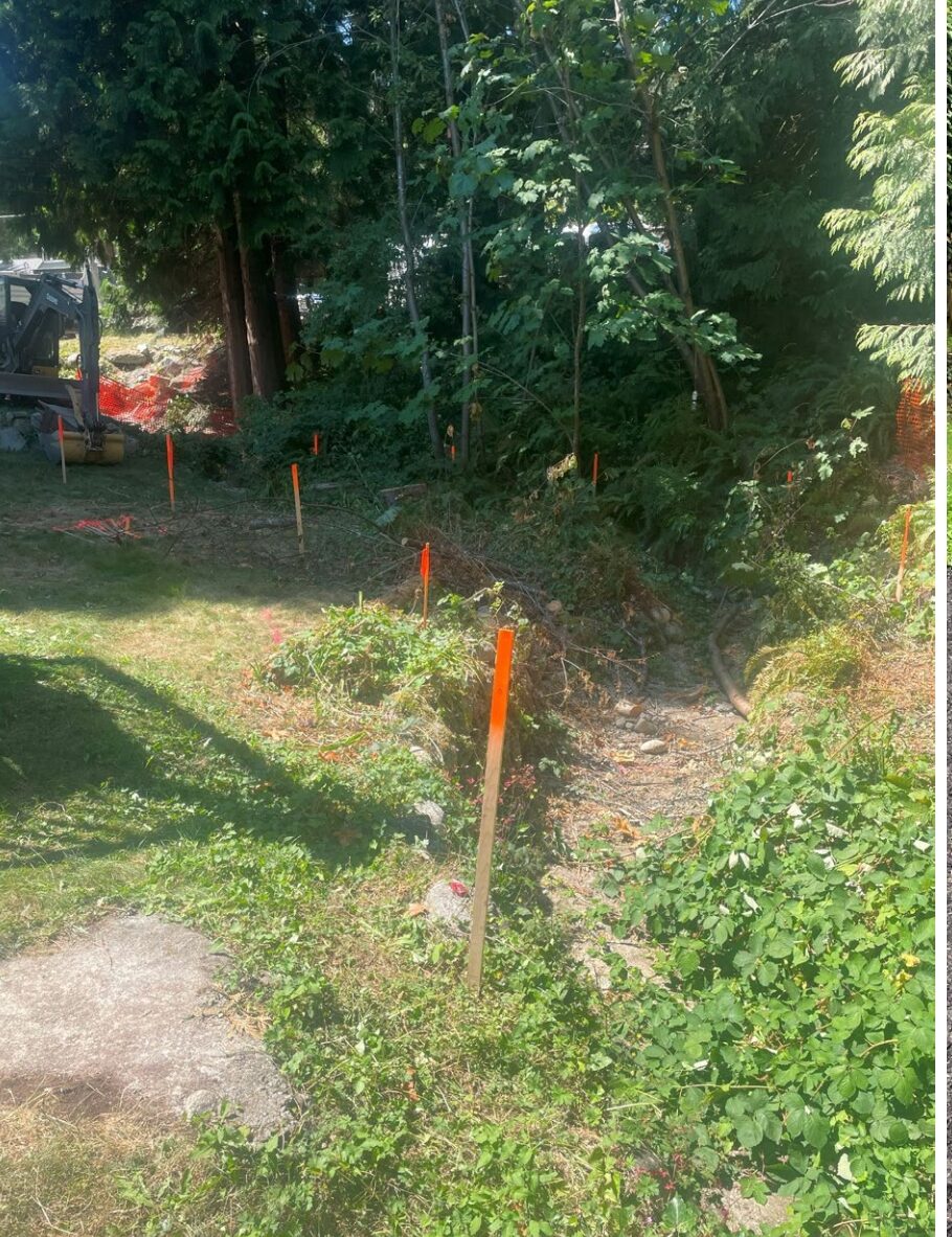

After