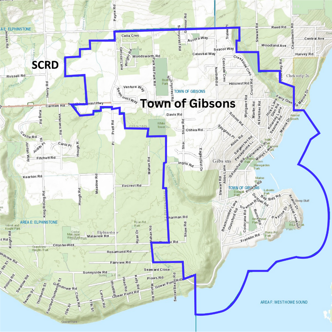
Town of Gibsons Municipal Boundary
The map below can help you determine whether you are within the Town of Gibsons’ boundaries.
If you are unsure, click the following link to search for your address: SCRD Mapping System (arcgis.com)
Maps of Gibsons
Town of Gibsons Map from Sunshine Coast Tourism
Town of Gibsons Boundaries (Address Map)
Garbage/Organics Collection Zones
Public Parking In Lower Gibsons
Gibsons Landing Illustrated Walking Map
Town of Gibsons Illustrated Map
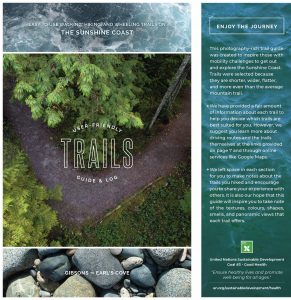
User-Friendly Trail Guide for Mobility Challenged
SCRD GIS Mapping System
SCRD maps are the gateway to the Sunshine Coast Regional District’s (SCRD) web-mapping services. These web-based systems bring information together from the SCRD’s Geographic Information System (GIS), to provide a one-stop shop for GIS map information about properties found within the Town of Gibsons. It also provides access to information in a variety of formats including downloadable PDF products, GIS data layers and interactive web mapping applications.
Access the GIS mapping tool here
Address Maps
Street Addresses Overview 2019
Planning
DPA 1 Geotechnical Hazards Development Permit Areas
DPA 2 Environmentally Sensitive Development Permit Areas
DPA 3-8 Form and Character Development Permit Areas
Engineering
Other Mapping Resources on the Sunshine Coast
The SCRD, in partnership with Fisheries and Oceans Canada (F&OC), has created a Habitat Atlas for the Sunshine Coast. The Habitat Atlas is a series of maps, covering the extent of the SCRD; from Langdale to Egmont and north past the top of Jervis Inlet. Each page of the Atlas contains a map illustrating a number of features, including: streams, roads, trails, land parcels, fish and wildlife habitat, parks and protected areas, watershed boundaries, and aerial photographs. Over 40 different categories, or “layers” of information have been collected. Each layer is stored on computer in a Geographic Information Systems (GIS) database at the SCRD office in Sechelt.